
drone flight restrictions map Romania
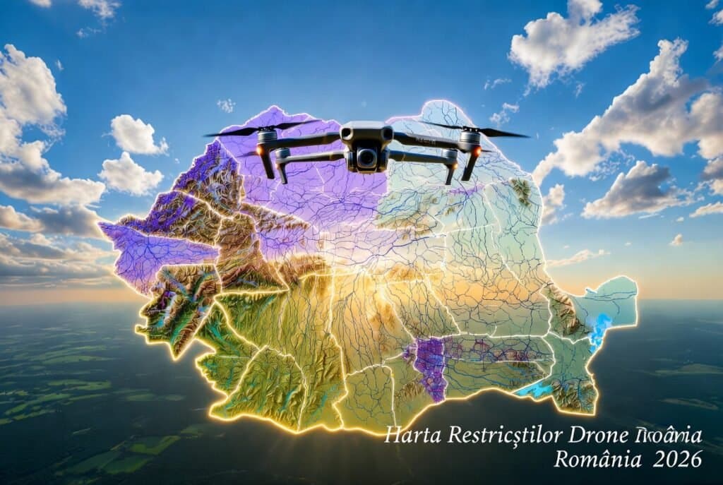
Drone Flight Restrictions Map in Romania 2026
Discover the official ROMATSA map of drone flight restrictions in Romania. No-fly zones, map colors, EASA 2026 rules, and how to obtain legal authorizations.
· 7 min
Introduction
Flying drones has become a hobby or work tool for tens of thousands of Romanians, but the drone flight restrictions map in Romania is the only reliable way to avoid fines worth thousands of lei or even drone confiscation.
Whether you're into aerial photography, precision agriculture, or professional filming, checking the official map before every flight isn't just a recommendation — it's a legal obligation.
In this complete guide we explain step by step how the ROMATSA map works, what each color means, which zones are prohibited, and how to fly legally and safely in 2026.
Why check the restrictions map before every flight?
Romania's airspace is very busy: international airports, military bases, protected areas, and commercial traffic. A drone entering a controlled zone without authorization can disrupt air traffic and draw serious penalties from AACR and ROMATSA.
The official updated map shows you in real time:
- Permanently prohibited or restricted zones
- Active NOTAMs (temporary restrictions)
- Exact flight conditions around airports
Official ROMATSA Map — Direct Link and How to Access It
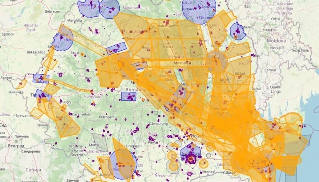
The single official link: https://flightplan.romatsa.ro/init/drones — the official interactive map dedicated to drones (UAS) published by ROMATSA. It is permanently updated and contains all UAS geographic zones (U-space).
The second mandatory tool: https://aerofoto.mapn.ro/ — here you obtain approval from the Ministry of National Defence (MApN) when the ROMATSA map requires it.
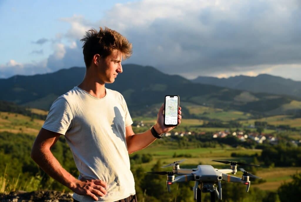
DroneDoctor tip: Open the map on your phone or tablet before arriving on site. Save a screenshot of the chosen area — it can help during an inspection.
How to read the ROMATSA map? Complete explanation of colors and symbols
The map uses a clear color system to avoid confusion:
- Violet / Purple — military or special restricted zones (R/P/D). Requires MApN approval and sometimes phone notification to the control tower.
- Yellow — active NOTAM (temporary restriction). May be valid for only a few hours or days — always check vertical limits and time windows.
- Blue — CTR / TMA zones (Control Traffic Region / Terminal Control Area) around airports. Flight is possible under certain conditions (usually up to 120 m, with prior notification).
- White or transparent outlines — open zones, but still check NOTAMs.
How to read the ROMATSA map? Complete explanation of colors and symbols
Each clickable zone displays:
- Zone code
- Lower and upper limits (in ft or meters)
- Time window
- Authorization phone number (if applicable)
Main types of prohibited or restricted zones in Romania
Important: even a drone under 250 g must respect all these restrictions!
- Around airports (CTR/TMA) — usually 5–8 km radius
- Military zones (MApN) — very common in western and eastern Romania
- Danube Delta, National Parks and Reserves — environmental protection restrictions
- Bucharest — flight below 3000 m requires special authorization
- Temporary zones (events, military exercises, official visits)
General drone flight rules in Romania (EASA 2026)
Romania fully applies European EASA rules. Open categories differ by drone weight:
A1 (under 250 g): fly near people, but not over crowds — minimum distance 0 m. A2 (250 g – 4 kg): fly near people — minimum distance 30 m. A3 (over 4 kg): fly away from people — minimum distance 150 m.
Common rules for all categories:
- Maximum altitude: 120 meters above ground (AGL)
- Visual line of sight only (VLOS)
- UAS operator registration mandatory (if drone ≥ 250 g or has a camera)
- Remote ID enabled (on most new drones)
General drone flight rules in Romania (EASA 2026)
Practical tips from the DroneDoctor team
Recommended steps before every flight:
- Check the ROMATSA map and aerofoto.mapn.ro 24 hours in advance.
- Save a screenshot with date and time.
- Call the number shown on the map before takeoff (even if flying below 120 m).
- Use NOTAM tracking apps (e.g. Airspace).
- If your drone needs service or calibration after intensive flying — contact us!
Conclusion
The drone flight restrictions map in Romania isn't complicated — it's an essential tool. Always consult official sources (ROMATSA + MApN) and fly responsibly. A legal flight is a pleasant flight without risks.
Need Service?
Send your drone for free